Finding yourself among the mountains, you involuntarily start thinking about how to climb one of them. But which one? And how? To find the answer to this question, I installed popular route-finding apps. First, I tested them while lying on the couch, made a table (see below), then tested the convenience of finding a route in a randomly selected city. I came up with London, an easy, walking tour lasting up to 2 hours. The less time it takes to find, the better. Testing process You can watch it on YouTube.
| Application | Routes for Sochi | For Montenegro | Offline mode | Export to GPX | How did you record the walk? | Convenience of search |
|---|---|---|---|---|---|---|
| AllTrails | 21 | 92 | Yes, for a fee. | No. | Interrupted tracking. | 5 out of 5 |
| Komoot | 22 | 306 | Yes, free | Yes, free. | Interrupted tracking. | 4 out of 5 |
| Outdooractive | More than 100 | More than 100 | Yes, for a fee | Yes, free. | Didn't interrupt. Can't cut. | 2 out of 5 |
| Gaia GPS | 10 | 10 | Yes, for a fee. | No. | Didn't interrupt. Can be cut. | 3 out of 5 |
| Hiiker | 0 | 1 | Yes, for a fee. | Yes, for a fee. | Interrupted. | 5 out of 5 |
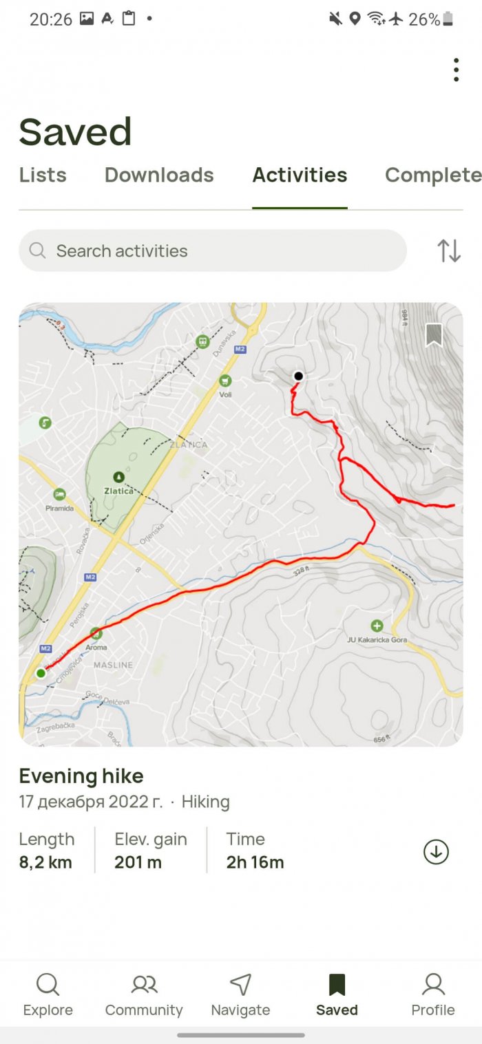
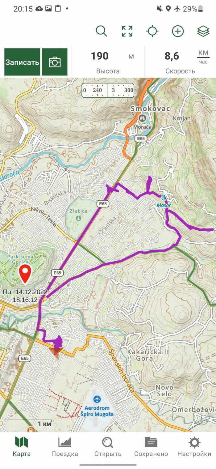
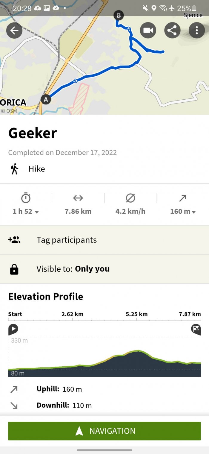
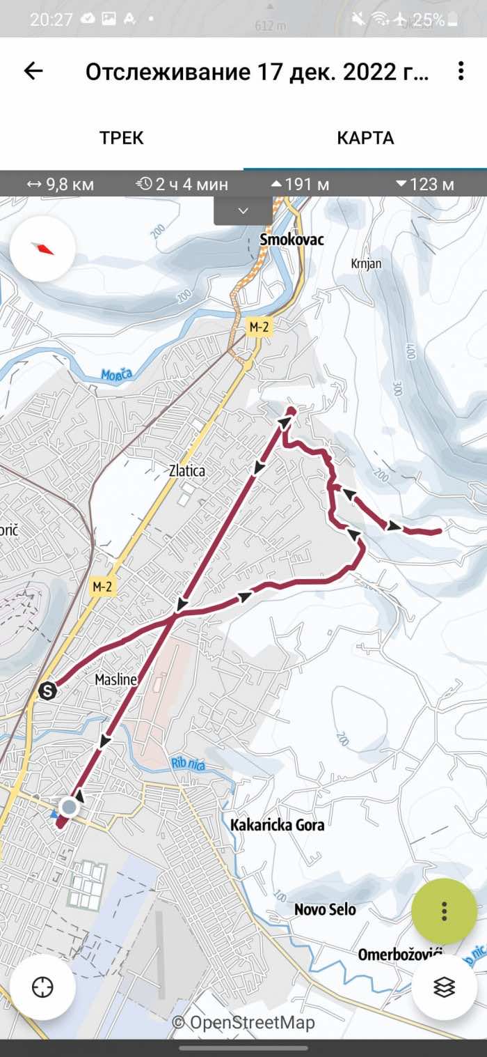
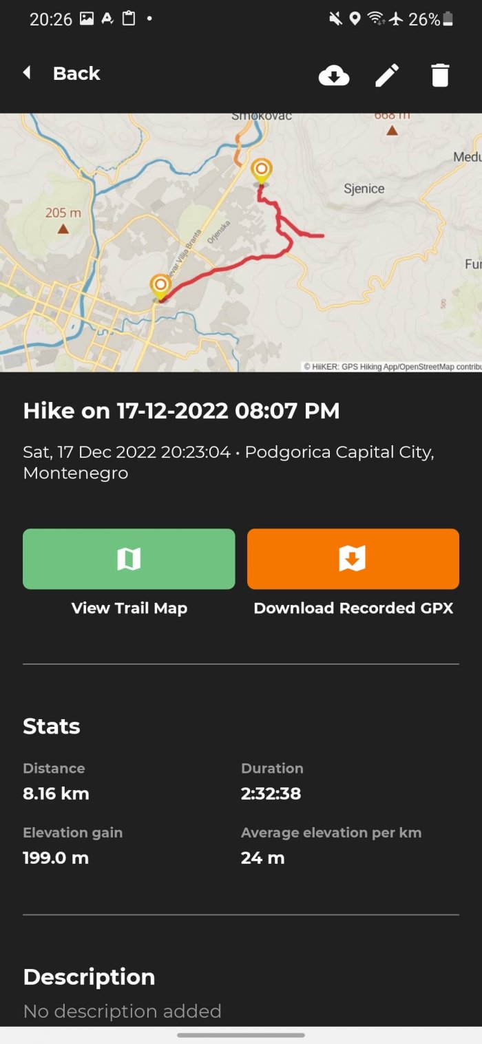
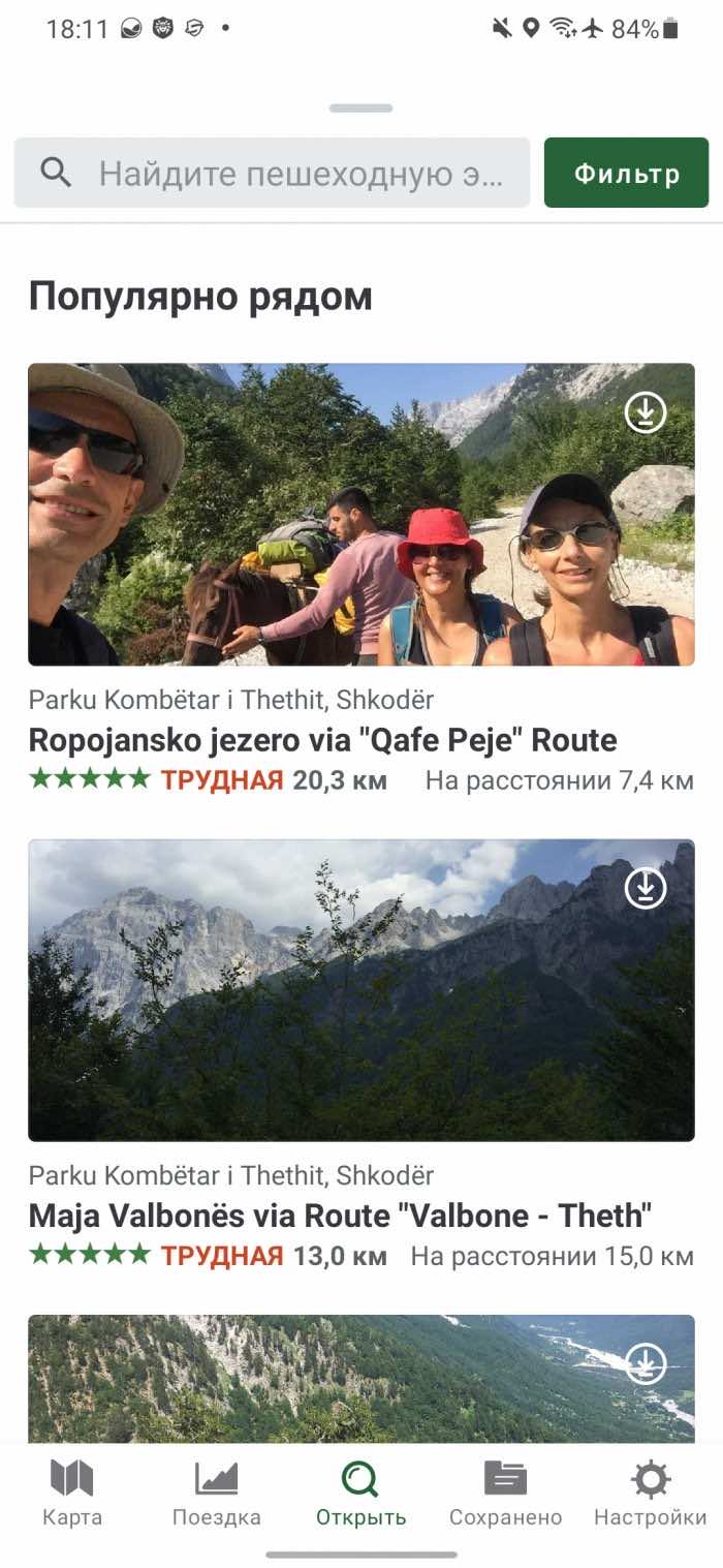
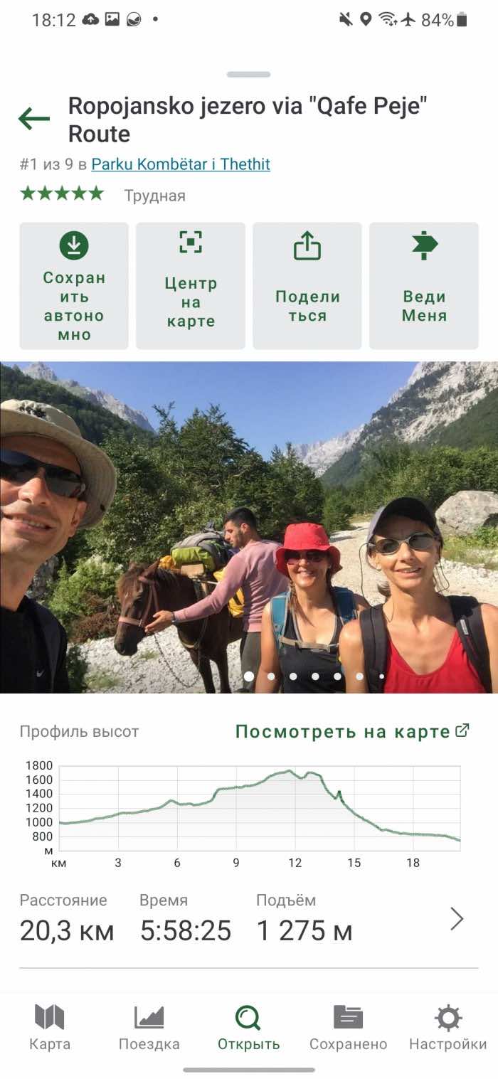
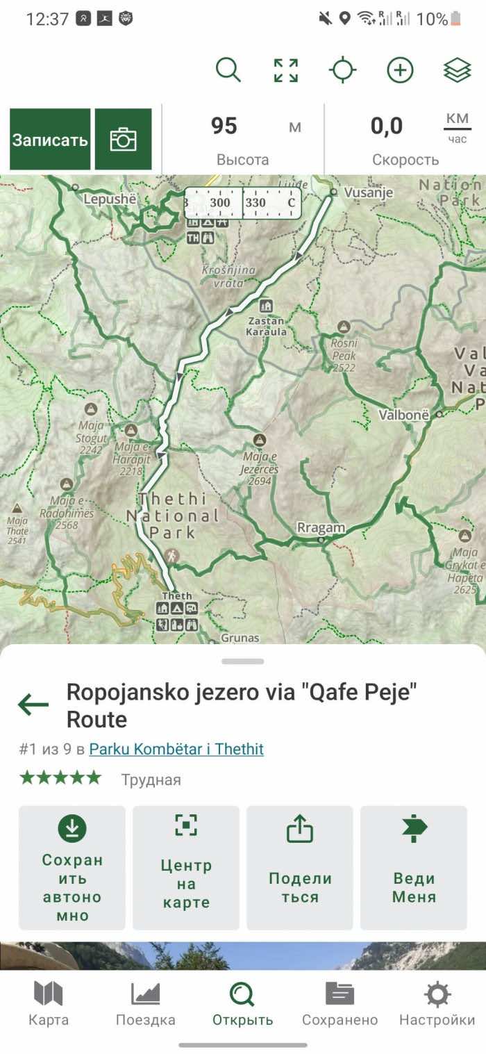
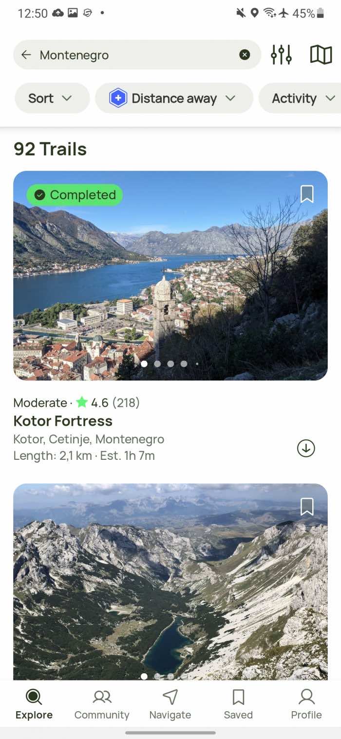
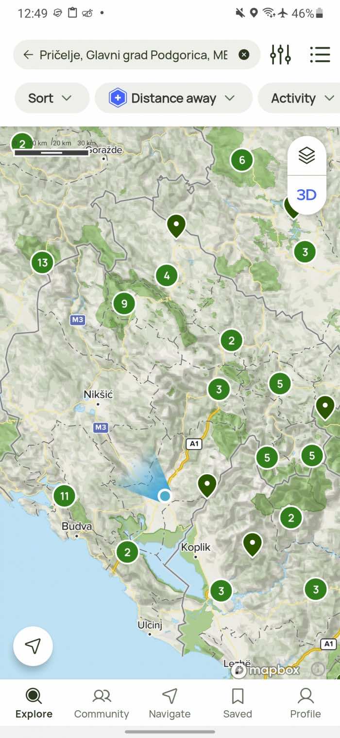
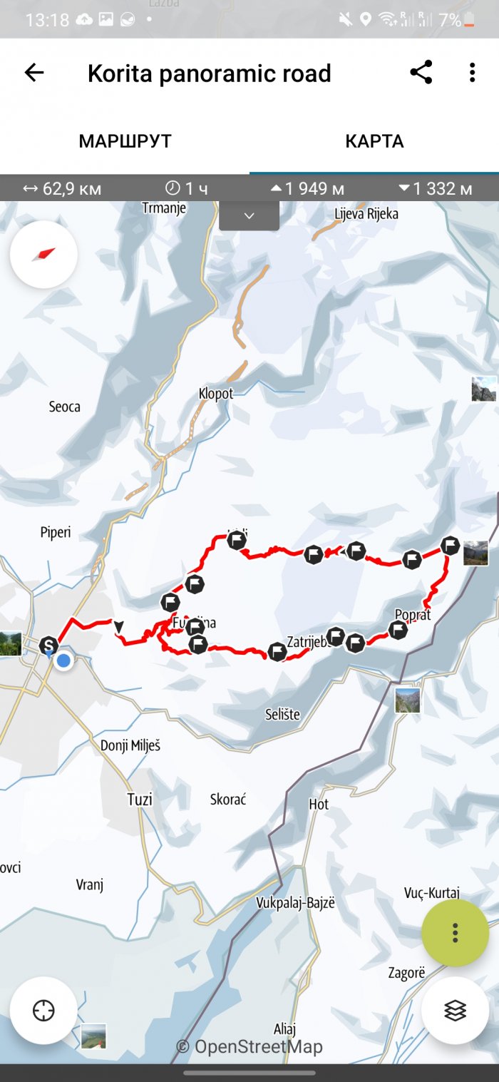
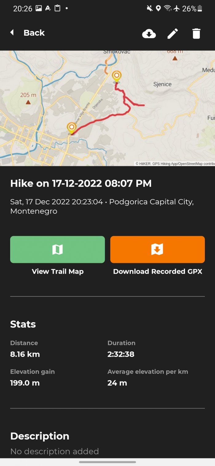
And finally, I went for a walk around the city and a little uphill. Having previously turned on airplane mode. What happened in the end, you can see in the five screenshots below.
At the end of the route, I stopped at a winery, stayed there for three hours, then walked a bit to the main road and called a taxi. Upon arrival home, I discovered that some apps stopped tracking on their own when I spent a lot of time in one place. And others continued tracking my movements until I stopped recording. Which option is better is up to you.
Komoot
Komoot has two search options that differ in functionality and UX.
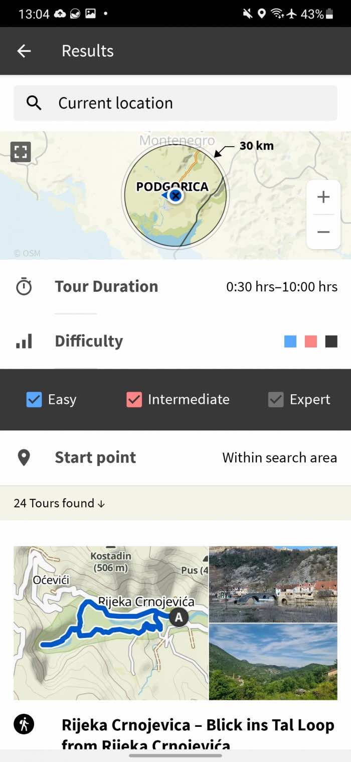
The first one is in the Discover tab, all the routes found will be shown as a list, without the ability to switch to the map. So if you don't know the place well, you will have to open each route to understand where it is.
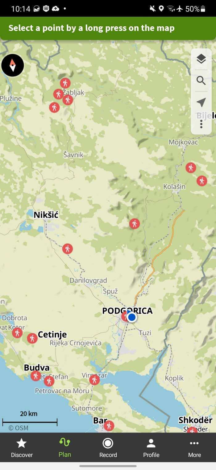
The second option is located in the Plan tab. And it is the complete opposite of the first. Plus, in it you can quickly (via search) display on the map: beaches, parks, bus stations and street toilets, but only one thing.
There are 6 activities available: hiking is walking, running, and 4 more cycling options. In Discover mode, there are 3 route difficulty options and you can choose the route duration (from 30 minutes to 10 hours), and in Plan mode, there are five difficulty levels, but you cannot choose the duration.
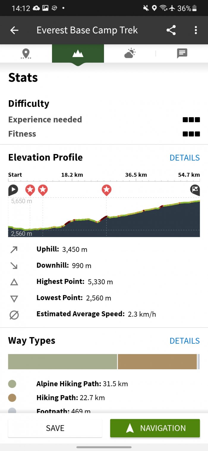
In addition to the standard information (distance, average speed, duration) on the route page, there is an altitude profile and statistics on the type of surface (gravel, asphalt, sand, etc.). If you click on the Details button in the Surfaces block, you can see directly on the map what kind of road surface awaits you at each section. The finished plan can be downloaded for free as a GPX file or saved in the application (Store for offline use button) for viewing without the Internet.
In your profile you can see statistics (a small icon at the very top) on the number of completed routes, time spent, distance covered and altitude. Statistics are available by month, for all time, and also separately for each sport.
Only two map layers (map and satellite) are available for free, access to the other three layers (hiking, cycling, MTB) is only available with a premium subscription for $5 per month.
Gaia GPS
In Gaia GPS you can choose the difficulty of the route (easy, medium, difficult), activity (only 2 options: walking or off-road travel), choose the length from 1 to 30+ kilometers. Here you can also choose the increase in altitude from 100 to 2000+ meters. And choose the route rating. After that, you will see a list of popular routes.
The route page contains its rating, altitude profile, distance, time, ascent, popularity, difficulty. After starting to record the route, you will immediately have access to information about the ascent height, average speed, distance, average pace and altitude profile. But the application does not have any statistics for all routes, as it is implemented in Komoot.
iOS version / Android.
AllTrails
AllTrails offers 8 types of maps for free, with an additional 4 maps available only with a paid subscription (1899 rubles per year). These are weather maps, air quality, pollen, and light pollution. A paid subscription also allows you to download maps for offline viewing, receive notifications if you make a wrong turn, and print maps.
There are many activities to choose from: mountain biking, running, walking, camping, horse riding and even fishing. The route can be chosen by difficulty, length, level of change in altitude and even choose one that will be convenient for traveling with a dog or a child. You can find waterfalls, rivers, forests, beaches, historical buildings and much more.
Outdooractive
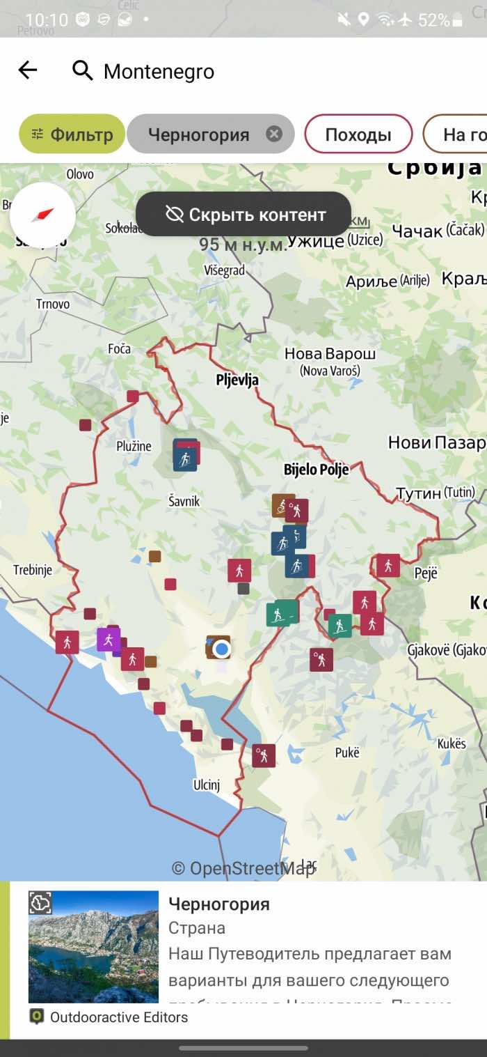
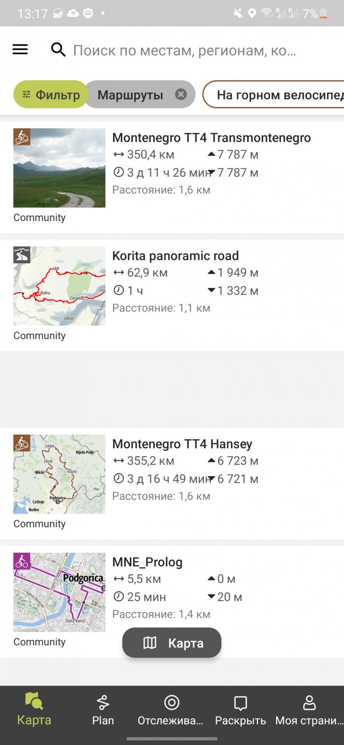
Outdooractive only offers routes for 3 activities: mountain biking, cycling and hiking. Unfortunately, for some reason the app didn't recommend me to go for a walk to a great park 15 minutes away.
The paid version for 30 euros per year allows you to download maps for offline use, has Skyline augmented reality and can share your location in real time.
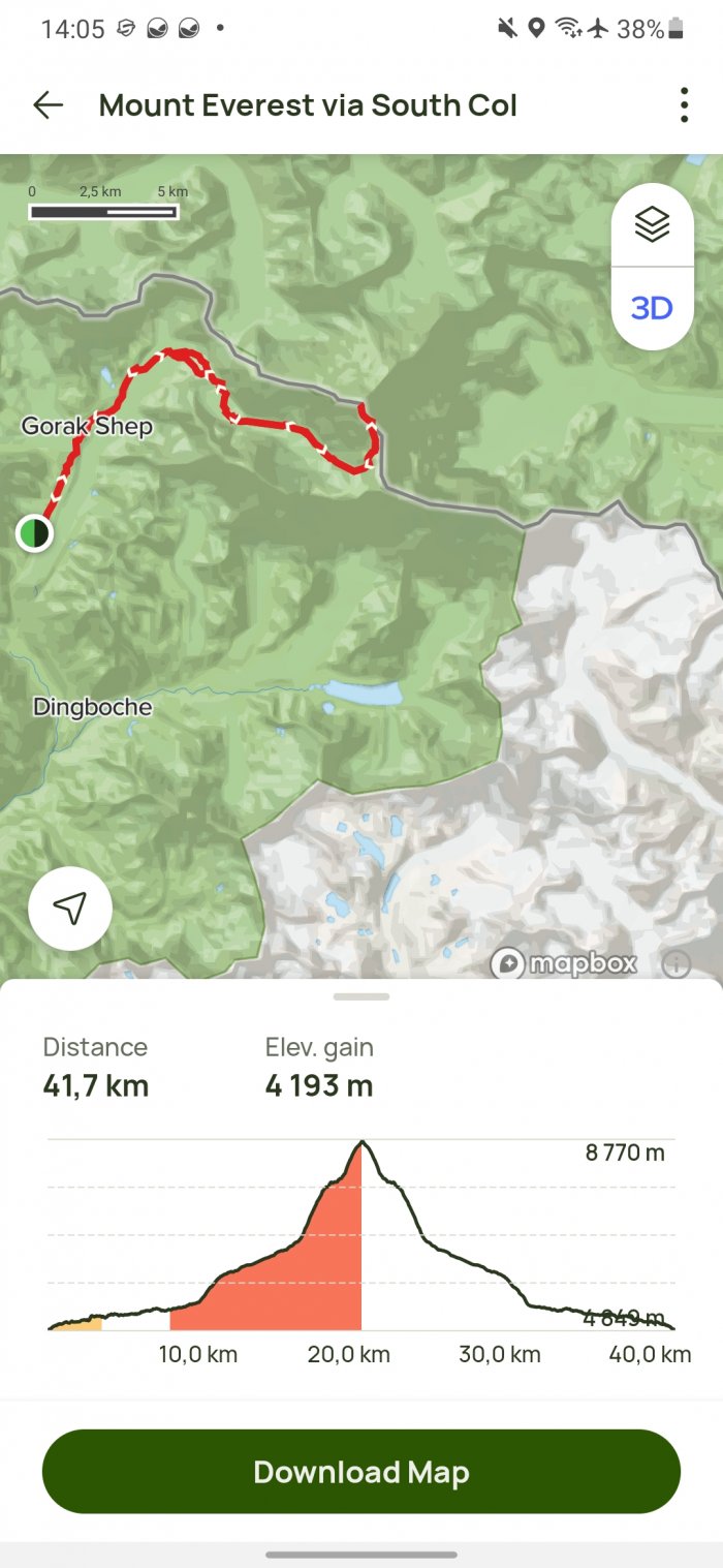
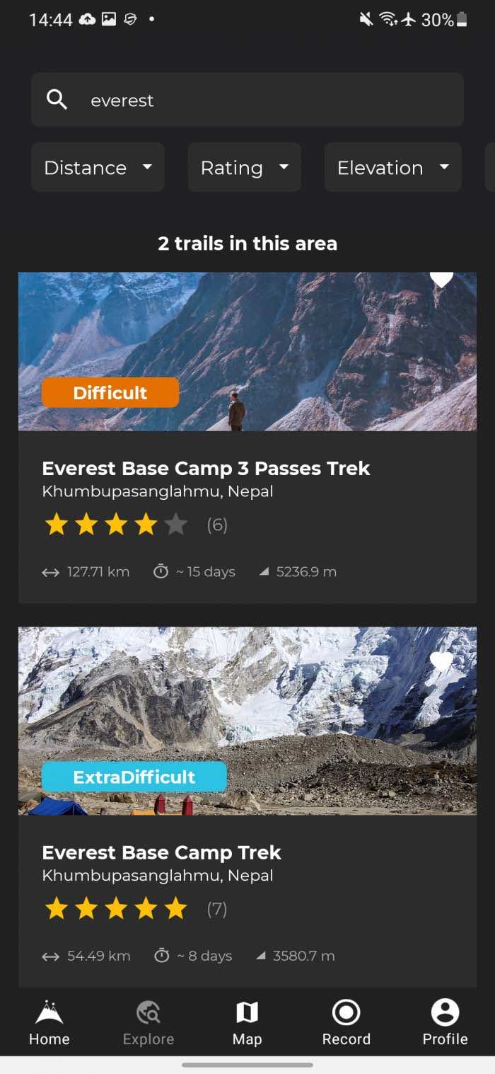
When trying to search for Mount Everest, the first locations given were in the USA and Italy. If you type “everest mount”, the search results are very bad, but if you search for “mount everest”, the mountain will immediately be in the first place in the search. The developers definitely need to improve the search within the application.
Hiiker
The advantage of this application is that you can use many layers for free. Layers can be combined with each other, move some layer up or down. I counted 65 categories of maps. There are both global maps (12 of them) and specialized ones, for example, for New Zealand, England, the USA, and so on.
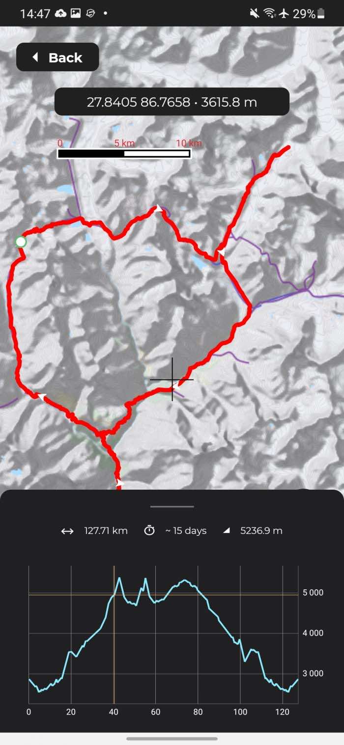
If you want to climb a mountain in Europe, the USA or somewhere in Nepal, for example, Everest, this app may come in handy. But for Russia, there are practically no routes. However, this does not prevent you from finding out the altitude of any point on the map, including on the territory of the Russian Federation. Just point the pointer to the place you are interested in and the app will immediately show what the altitude is above sea level.
