You are in a hurry to get to work. While you are climbing onto the platform, the doors of the train close, and the suburban train, gradually picking up speed, rolls to its destination without you. You are only a couple of seconds late, but you will lose 20-30 minutes waiting for the next train.
Fortunately, modern technology will come to our aid in this matter. The article below describes the best public transport tracking apps, with which you will never be late for a train or bus and will always know how to get from point A to point B, in almost any city and country.
Citymapper
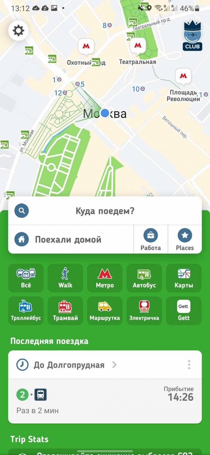
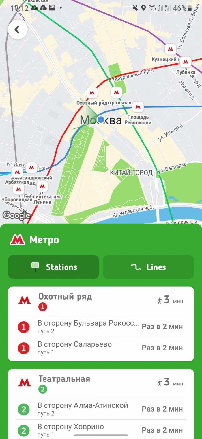
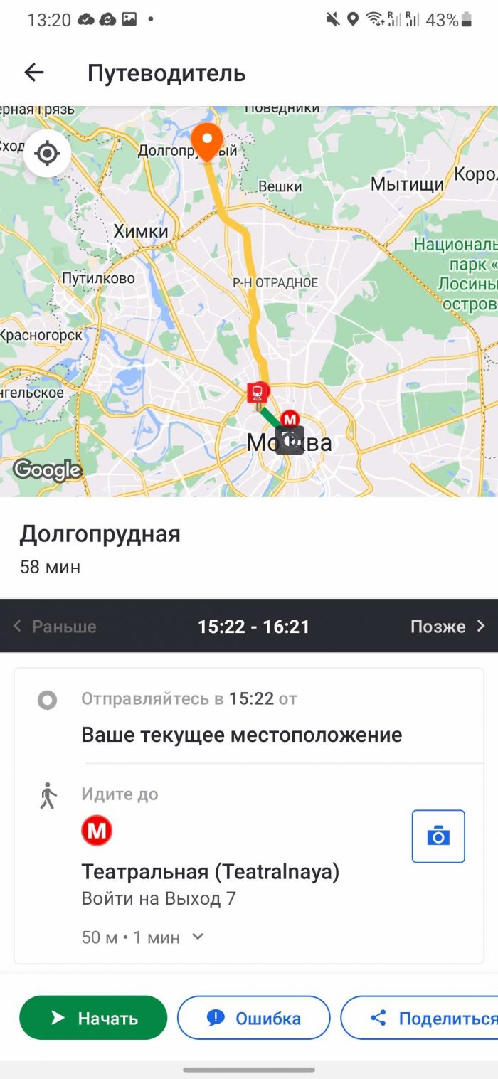
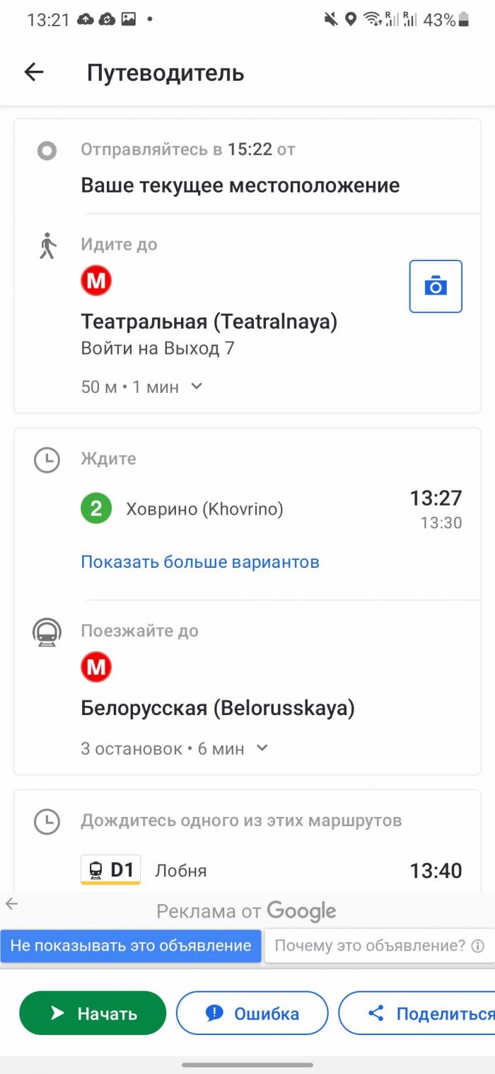
Citymapper will provide complete and up-to-date information about all types of public transport in your city. Need to know the train or bus schedule? Just select the desired item "Trains" or "Buses" in the main menu of the application. Citymapper will open a map showing all railway stations, bus stops and metro stations within walking distance from you.
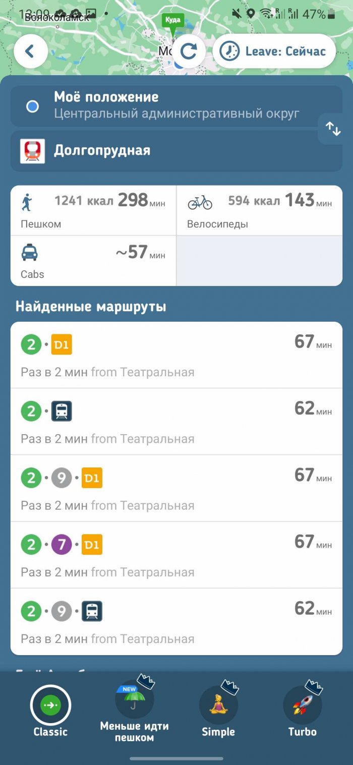
Select the "Get to" option in the main menu and enter the place you need to get to. The application will automatically create the optimal route taking into account public transport, show the expected arrival time and even calculate the cost of the trip.
But Citymapper isn't limited to trains, buses, and subways—it also takes into account ridesharing, taxi services like Uber and Lyfts, bike paths, and even ferries.
Available for Android / iPhone.
Moovit
Moovit supports up to 2,700 cities worldwide. When you're ready to hit the road, launch Moovit and follow the app's directions to get to your destination on time.
Find the best route and get to your destination by bus, train, bike, subway, ferry or even taxi. The app also supports many transportation services around the world, including MTA, NJ Transit, LA Metro, BART, Caltrain and many others.
Moovit has a simple interface. The app shows only what you need, without cluttering the map with unnecessary information. Select the “Lines” option at the bottom of the screen - you will see the routes of trains and buses. If you tap a certain line, the app will immediately show the corresponding transport schedule. You can also move the cursor over the map. In this case, the app will show the public transport stops closest to the sign.
Available for Android / iPhone.
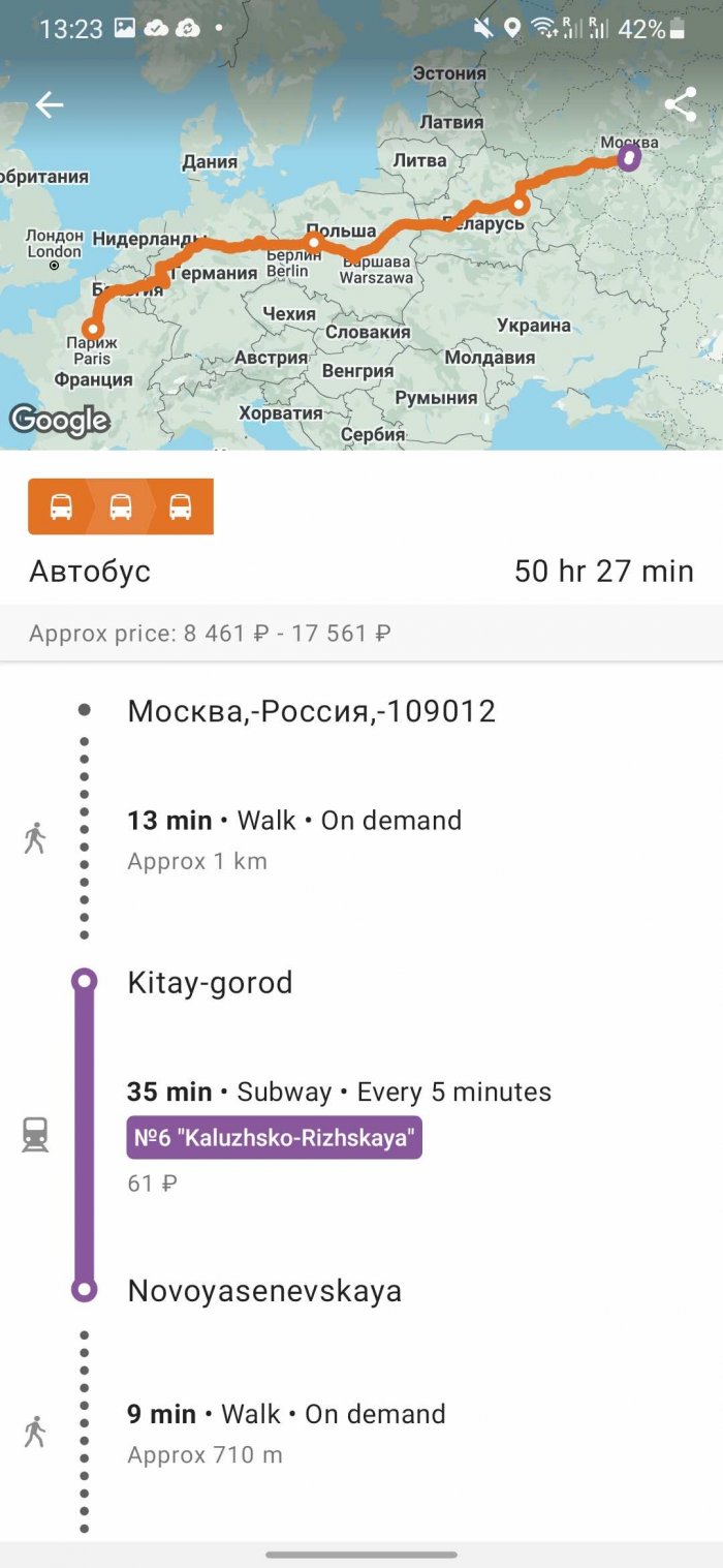
Rome2rio
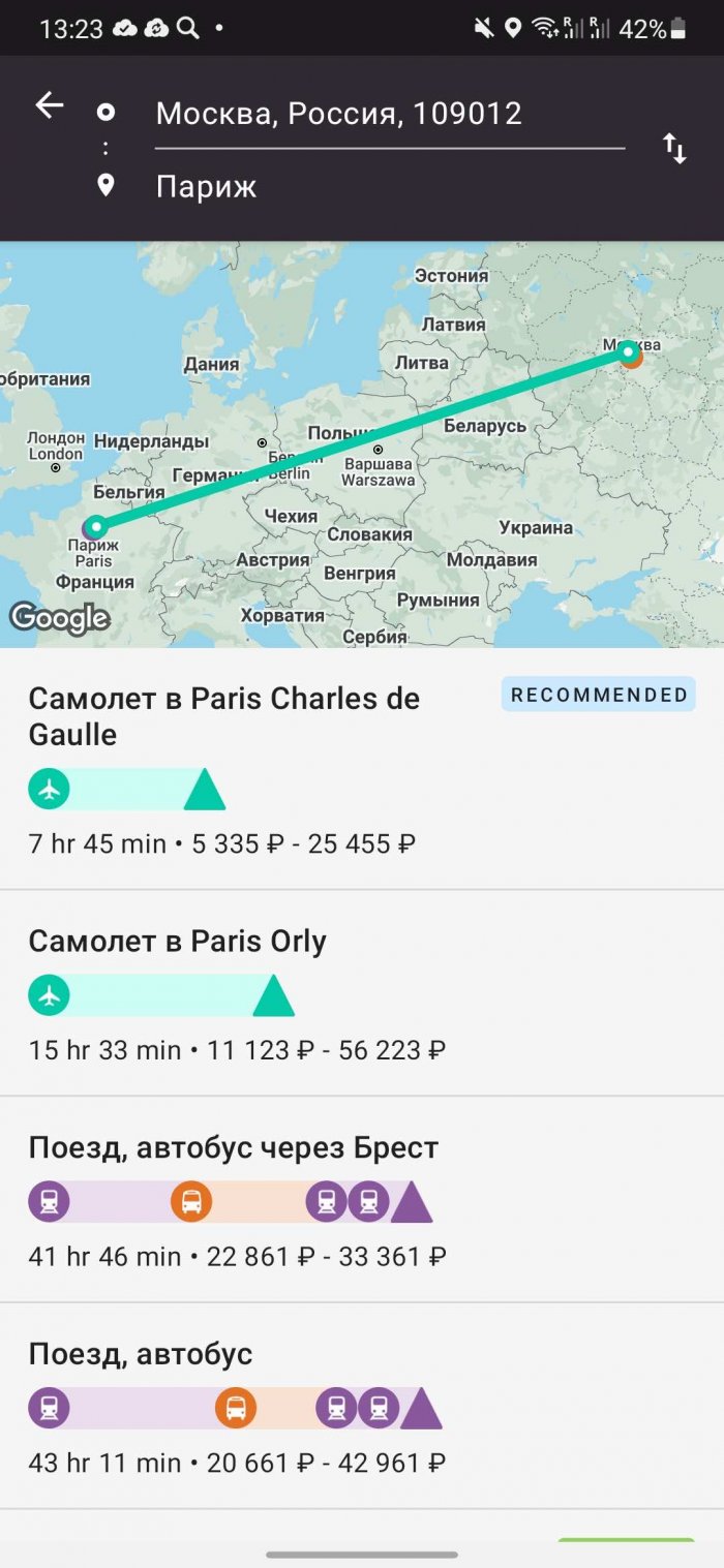
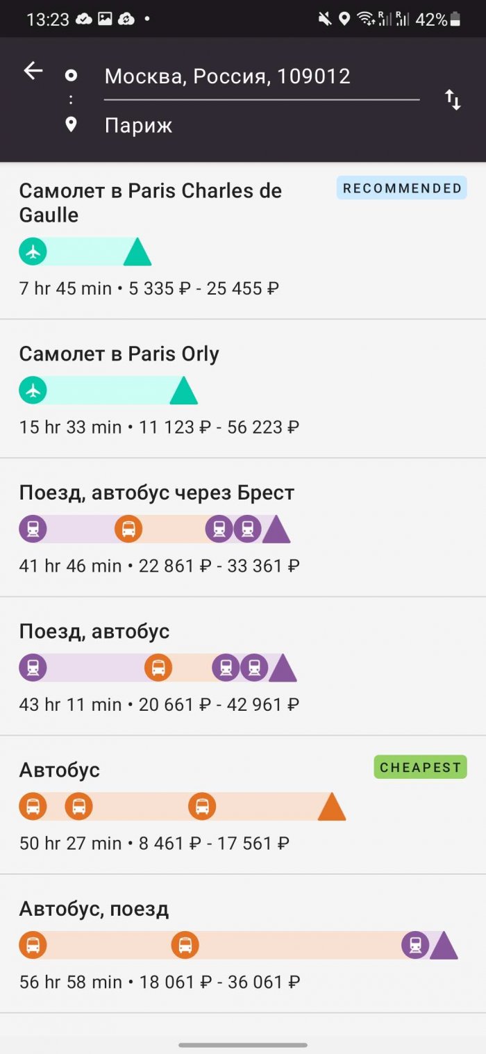
Rome2rio covers not only ground transportation, including buses, trains, ferries, car rentals and ridesharing services, but also air transportation. Rome2rio gives users access to flight schedules and ticket prices for 5,000 different airlines in 160 countries.
Simply type your destination into Rome2rio's search bar. Whether you're going across town or across the country, Rome2rio will show you the best way to get from A to B. You can even book tickets with Rome2rio, making it one of the best travel planning apps around.
Available for Android / iPhone.
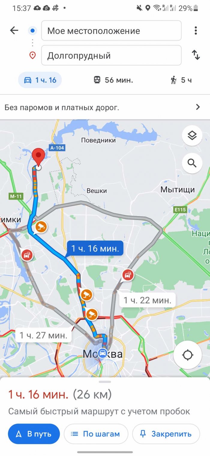
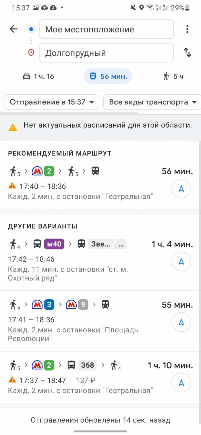
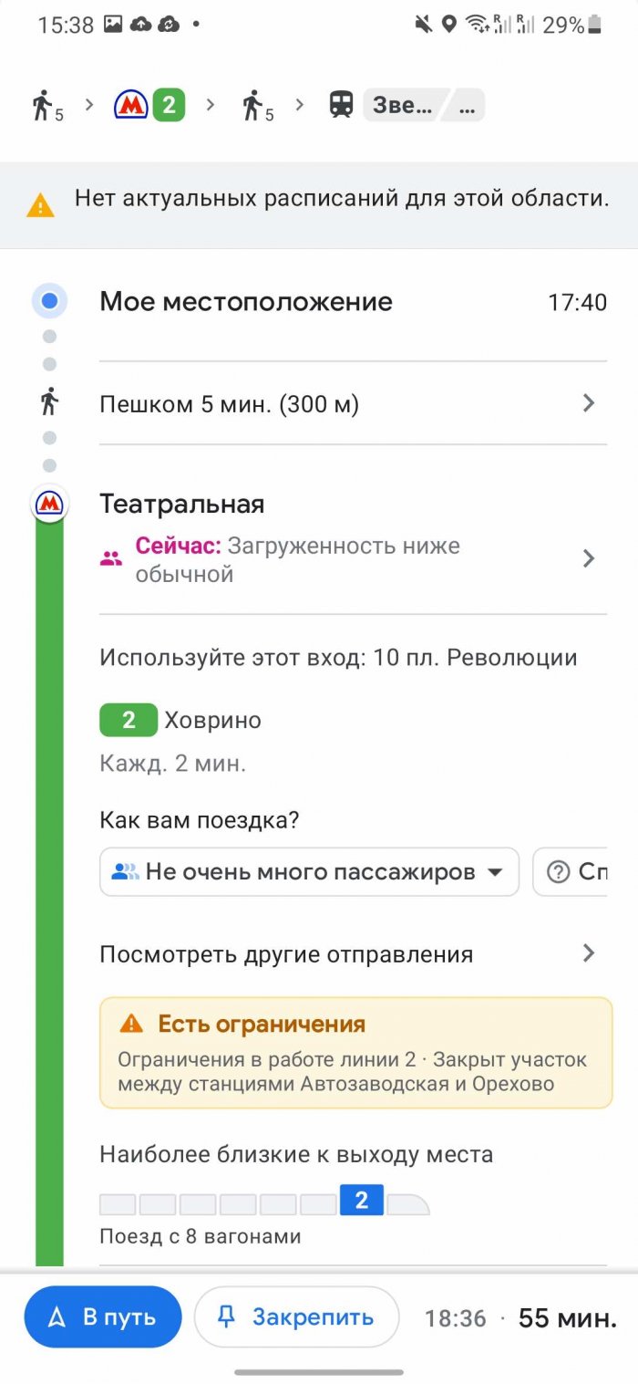
Google Maps
Sometimes you need to go back to basics. If you're already familiar with Google Maps, you probably know how easy it is to use. Just enter your destination, and the service will immediately select the best route.
If you are interested in public transport, click on the train icon at the top of the menu. The service will provide information not only on rail transport, but also on bus routes, as well as tram and metro train schedules.
Available for Android / iPhone.
Transportr
When it comes to public transportation, no one knows it better than the locals. That's where Transportr comes in - an open-source app and information system developed by a community of users from all over the world. You can even add your own city to the app if it's not there yet.
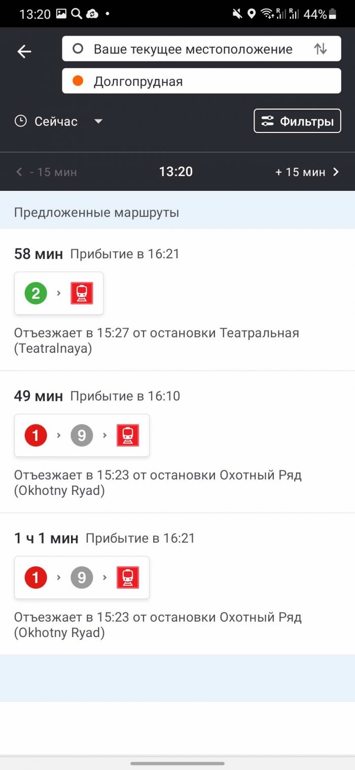
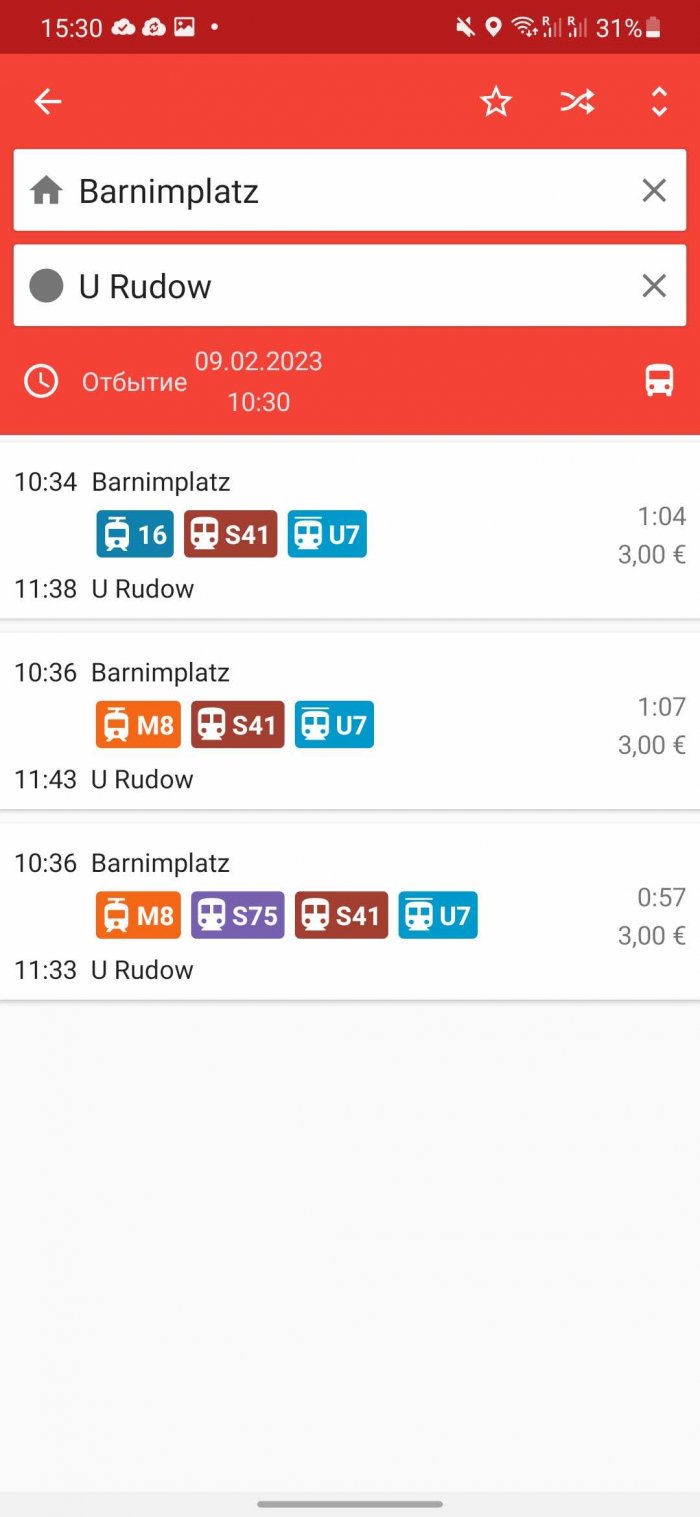
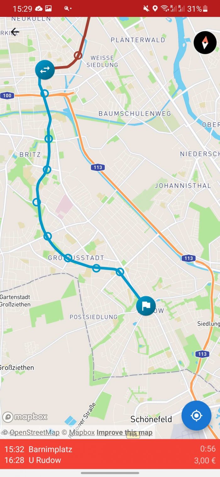
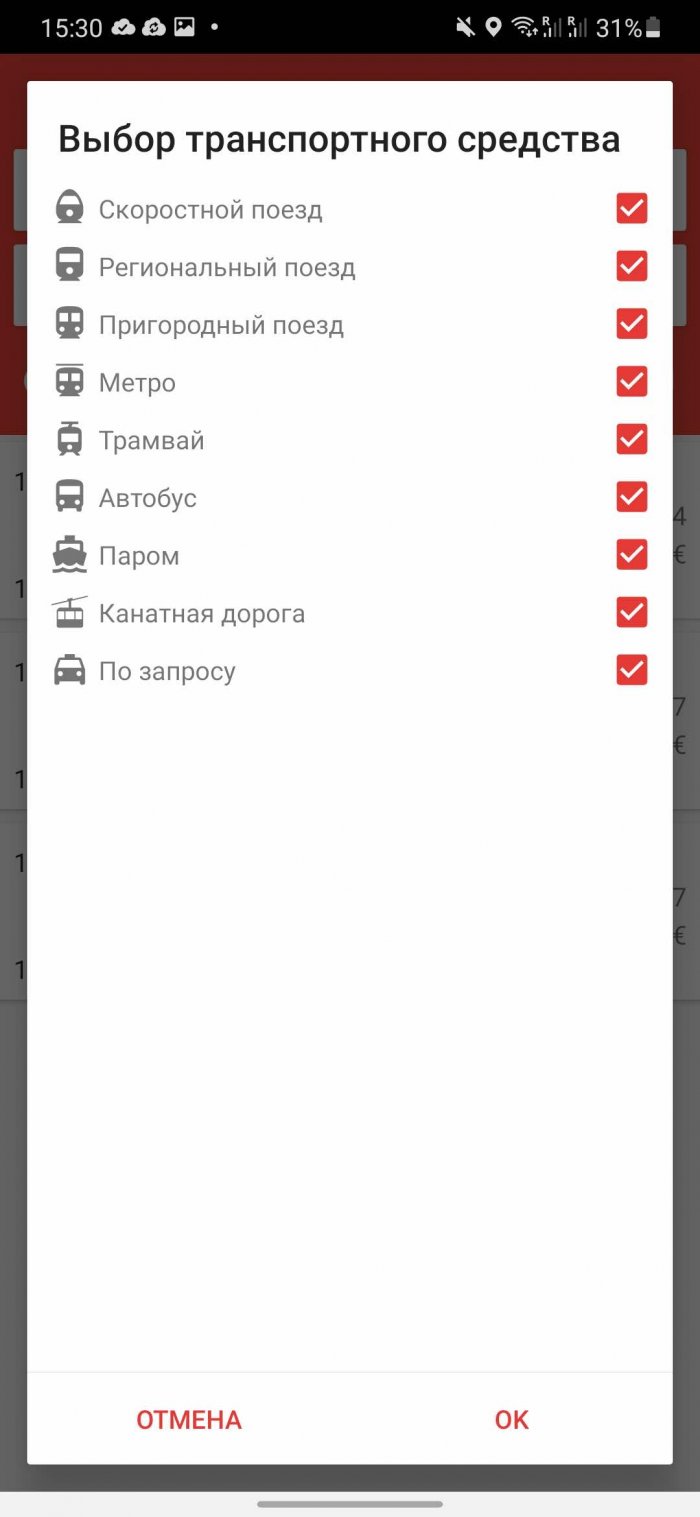
Ready to hit the road? Enter your destination, and Transportr will immediately show you the best routes, taking into account metro, commuter trains, and buses, as well as departure times, stops, and delays for various reasons. You can also find the stops closest to you on the map. But Russia is not on the list of available countries. Useful when traveling around Europe.
Available only for Android.
